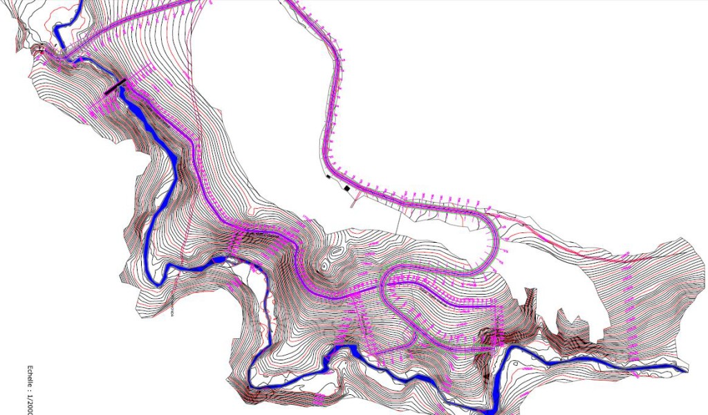
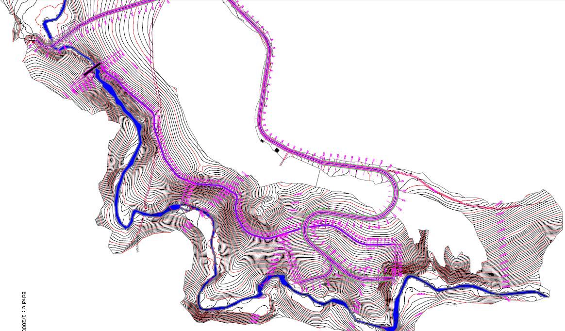
 A big part of developing a hydroelectric site is understanding the topography of the site – which drives the placement of the dam, canal, penstock pipe, powerhouse, and roads. Our survey team was on site in July and we are now using the topographical maps from the survey to determine the best layout of each of the project elements. The next step after this exercise is to do extensive geological surveys and soils testing, in order to determine if the soil is sufficiently stable for construction of the major project components.

